DRONES flying drugs into the Tasmanian prison, spying on topless sun bakers in Darwin, or dropping bombs into international war zones.
Subscribe now for unlimited access.
or signup to continue reading
The laws surrounding drones and their myriad of known and unknown potential uses are not yet watertight, but these unmanned aerial vehicles are being used for recreational, commercial, educational, emergency and military uses, and their popularity across the world is growing.
Recreational use has soared.
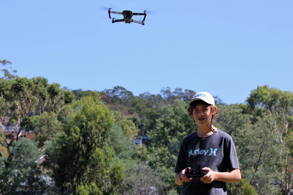
The DJI Phantom and Mavic ranges are now on the recreational market for up to $1500 and can have high resolution cameras, mapping capabilities sensors that automatically prevent collision with walls and the ground, flight control for up to 25 minutes, and distance capabilities of four kilometres or 4000 feet.
These same drones are also being used in the Tasmanian commercial sector as institutions and start-ups continue to look at different ways these machines can increase business productivity and efficiency.
Organisers of DroneFest Tasmania saw drones were becoming a permanent fixture in the state's future and started a festival dedicated to them.
They say there are more than 20 businesses employing up to 100 Tasmanians, and another 160 commercial drone pilots in the state.
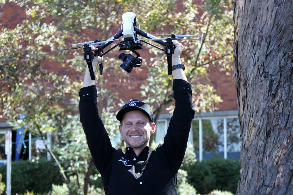
These figures include start-up businesses such as the North-West’s Andrew Davies of Taz Drone Solutions, who uses aerial photography for construction, real-estate and creative purposes, businesses such as Currawong Engineering, which designs and sells high-grade engines for larger drones, as well as government companies such as Hydro Tasmania.

Hydro Tasmania employs up to 20 drone pilots and many of its employees work with drones in some way.
Its chief pilot Colin Clements, who monitors safety compliance of every drone flight, said the machines were being used to monitor infrastructure across the state, such as canals, dams and power stations.
Any imagery collected on these flights is passed to the engineers, such as electrical engineer John Iles, who examines footage related to power plants.
He said drones were increasing work safety and efficiency.
“If I want to look at the Trevallyn Power Station switch yard in operation I can't get very close because of the high voltage. But a drone can go in there and look at all those components to give me an understanding of their condition," he said.
“Say I have an oil leak in one of the transformers but I don't know where it is. Once we get the drone images we can see where it is, without using manpower or having an outage, and I can then plan an [power] outage for six months and go in and fix it."
Mr Iles said his civil engineer colleagues were also successfully using drones.
“If we were to develop issues with a dam it is very difficult to go and get a look at the dam's surface but the drone is perfect for this. We can look at footage to get a good understanding of the dam’s overall condition, and then take trending images to see small changes or leaks developing over time.”
These same image capabilities are also making ship navigation in Antarctica a great deal easier.
Helicopter Resources manager Doug Thost realised the value of drones in his business three years ago.
“We provide helicopter services for the CSIRO Antarctic Division. We couldn’t ignore what was happening in the rest of aviation so we added-on this drone service, initially to our ice reconnaissance work on ships," Mr Thost said.
You couldn't walk through and count mutton bird nests manually because you would trample through vegetation and fall into the holes, but this resolution is good enough so that you can count the holes on photos.
He said it took an hour and six people to launch a helicopter from a ship, but a drone is in the air in 10 minutes and can instantly feed live footage back to the captain.
“The drone is answering micro-navigational decisions. At some point the [captain] might be unsure of which direction to take, so we send a drone up to take the information."
Mr Thost said his drones were also used for survey work and digital surface and elevation modeling.
“We are doing small surveys, flying 60 hectares in about one hour, producing digital maps and also doing ground sampling of up to three centimetres," he said.
“If you fly fairly low you can get down to millimetre accuracy, so we are flying our drones at 60 metres and achieving two to three centimetres ground surfacing, where each [camera] pixel represents about two centimetres."
He said this accuracy is used for mutton bird surveys, where drones fly in and take footage of nests.
“You couldn't walk through and count mutton bird nests manually because you would trample through vegetation and fall into the holes, but this resolution is good enough so that you can count the holes on photos."
This sentiment is shared by Tasmanian student Seb Gadsby, 14, who received a DJI Mavic Pro last Christmas, and represents the next generation of drone enthusiasts.
It is not just the photographic aspects of a drone that excites Seb, but the future career opportunities that exist in the commercial world.
"You can fly them a very long way, and get a new perspective of the world," he said.
"How they work, it is all very interesting."
Recreational and commercial use of drones is governed by the Civil Aviation Safety Authority of Australia (CASA).


