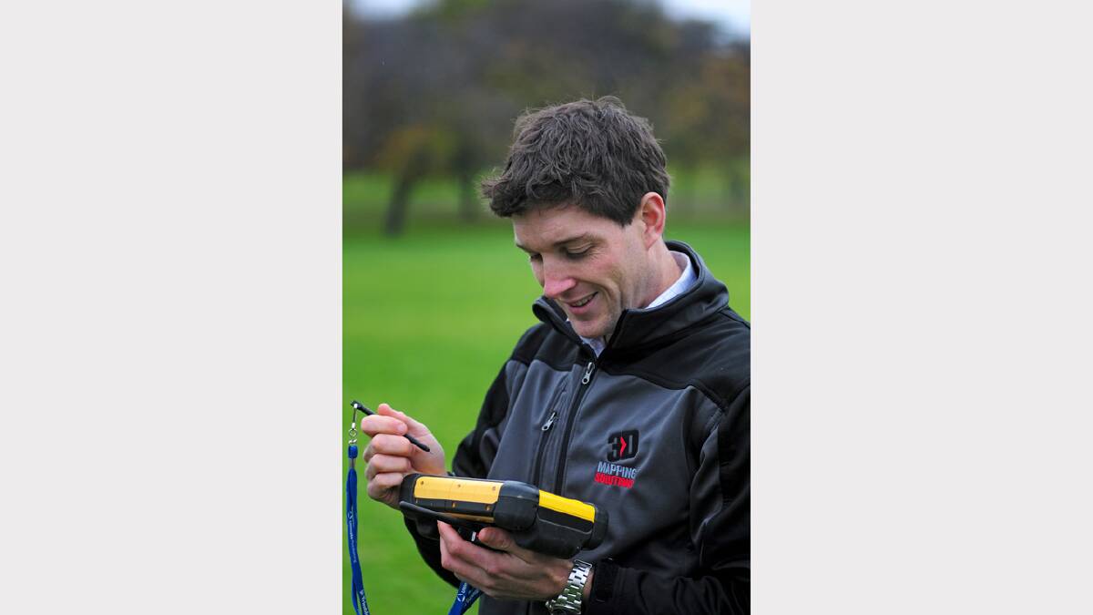
WHEN surveyor Matt Reid started using a drone to survey larger properties he had no idea where it would lead.
Subscribe now for unlimited access.
$0/
(min cost $0)
or signup to continue reading
Mr Reid said that he typically used the drone to take a series of aerial photographs from preprogrammed positions, using an on-board GPS and from that, images would be tagged to show their location.
"These would be stitched together with the software I have in the office and, from that, I calculate ground elevation," he said.
"It flies quite quickly, covers a large area in a short time and we get a full 3D model of the area."

But Mr Reid has now developed a system that illustrates crop health by using a combination of the photographs taken and an algorithm he developed.
"We can add an infra-red camera which gives us the capability to do a lot of work in the agricultural sector on things like crop health surveys," he said.
"I developed an algorithm from which we've developed a system to compute NDVI values — a crop health indicator — and can plot that for primary producers.
"The maps give farmers a detailed picture of their whole paddock and can be used for targeted fertilising — I didn't even know what NDVI was when I was first asked if we did NDVI mapping, but a lot of research soon changed that.
"We're developing a system whereby the NDVI values will be fed directly into GPS devices on harvesters so crops can be target-harvested and specific areas avoided.
"We're also looking at using the system for biomass calculations."
Mr Reid said that he had already used this system to assist in pea farming and on vineyards.

