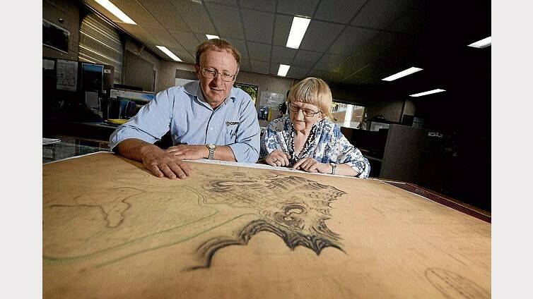
A MAP almost 200 years old and naming some of Launceston's earliest residents has been extensively researched and digitised.
Subscribe now for unlimited access.
$0/
(min cost $0)
or signup to continue reading
Launceston historians Jenny Gill and John Dent were long fascinated with the Sharland Map, a map created in 1826 by surveyor William Stanley Sharland.
The map shows the town at just 20 years old, names more than 163 of its residents and depicts a number of its buildings. Ms Gill and Mr Dent last year tried to create profiles for each of the people listed.
"We went mad," Ms Gill said.
Launceston City Council's spatial sciences manager suggested the information was made available online.
University of Tasmania surveying and spatial sciences students Ryan Anthony and Steven Harvey spent about five weeks bringing the map to life.
The students were some of the first to use online technology, which makes the map fully interactive.
"We scanned the image of the original map and had to align it to the current map," Mr Anthony said.
"There were a few discrepancies, but right in the centre of town it was spot on," Mr Harvey said.
All agreed the map was crucially important. The document provides a sneak peek at life beyond the official documents.
"It's Launceston's roots and it's the most comprehensive map I've seen," Ms Gill said.
Mr Dent and Ms Gill said there were still several names without profile and urged people with information to get in contact.
The Sharland Map can be found at http://www.launceston.maps.arcgis.com/

